Indiana Height Modernization
Phases 1 & 2
Statewide Project – Indiana
INDOT Central Office
Summary:
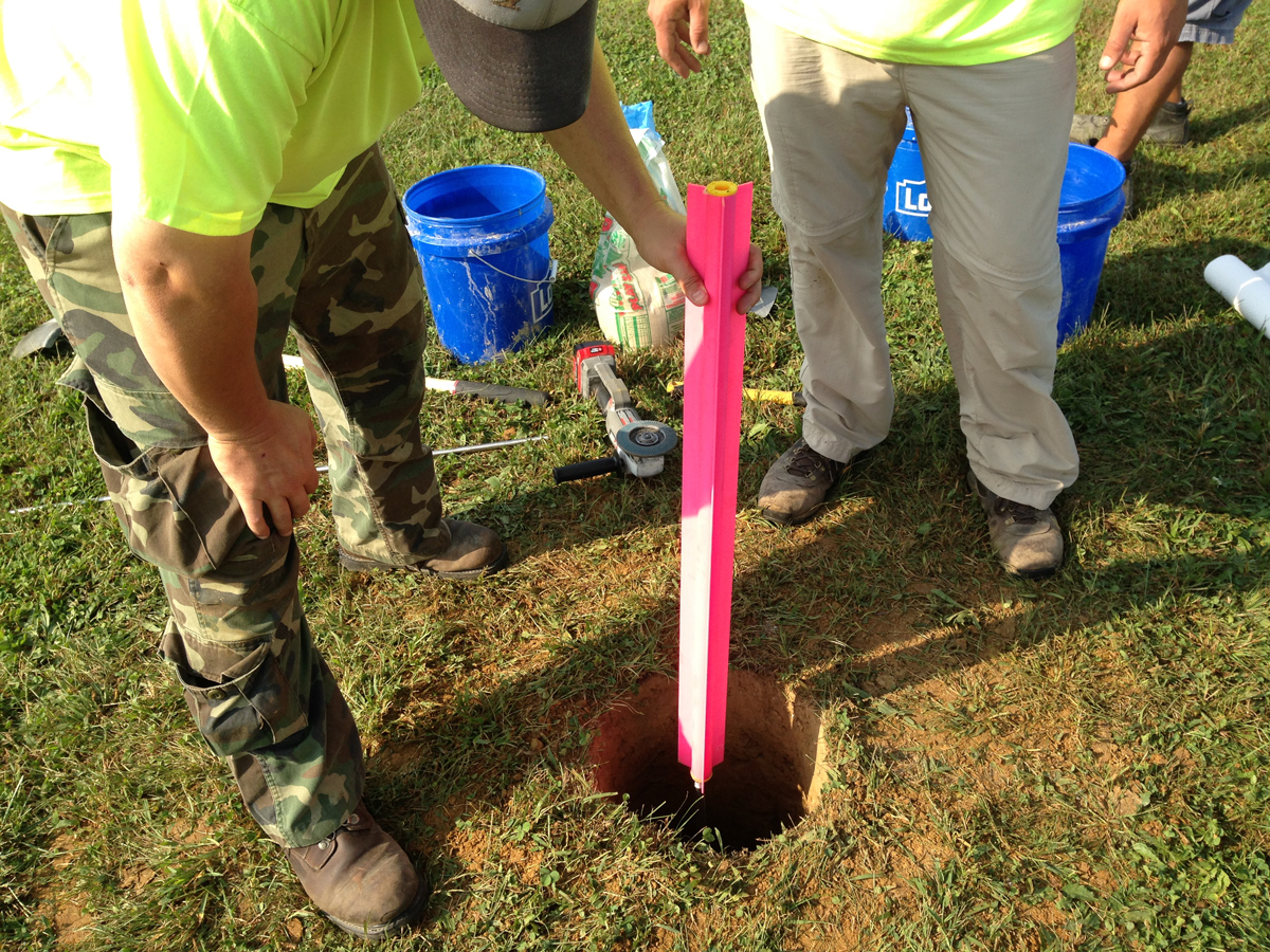
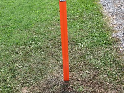
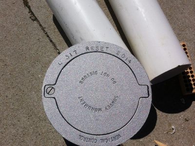
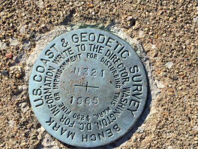
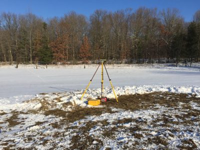
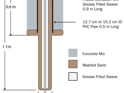
BF&S and USI collaborated in the planning, performing, and submission of Indiana’s first Height Modernization project commencing in 2015. The undertaking included a National Geodetic Survey (NGS) project submittal, new monument construction geodetic leveling, and the coordination of USI, BF&S, and INDOT survey crews. This coordination lasted for four weeks and involved static GPS observations, a GPS network adjustment, NGS Bluebooking, and a final project submittal to NGS. The survey introduced 14 new GPS-observable monuments into the NGS Internet Database (NGSIDB), and it established positions and ellipsoid heights on more than 20 benchmarks. Phase 2 of this project introduced six additional GPS-observable monuments into the NGSIDB. In addition, it established positions and ellipsoid heights on more than 10 additional benchmarks. The result of these two surveys is better access to vertical and horizontal geodetic control throughout the Vincennes and Seymour INDOT Districts.
Awards
ACEC (American Council of
Engineering Companies)
State Finalist Award
